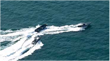
Maritime observation
Long-range observation and target tracking for coastal or maritime patrol tasks.
| Recorded scenario | 350 m altitude / 1.8 km observation distance |
| Configuration direction | Fixed-wing UAV + dual-sensor gimbal |
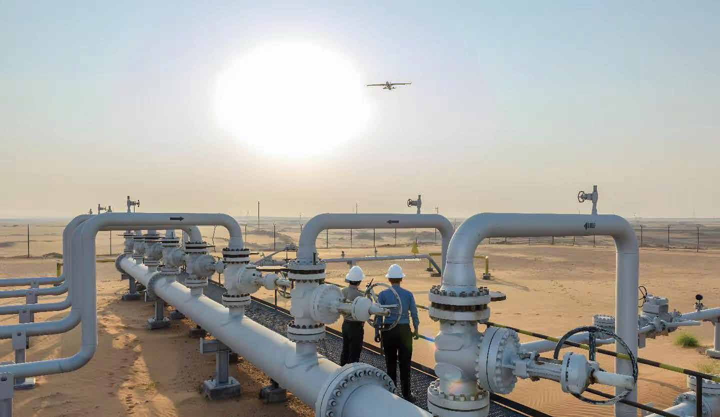
Representative mission scenarios, configuration directions and recorded project indicators for industrial UAV operations.
Long-range observation and target tracking for coastal or maritime patrol tasks.
| Recorded scenario | 350 m altitude / 1.8 km observation distance |
| Configuration direction | Fixed-wing UAV + dual-sensor gimbal |
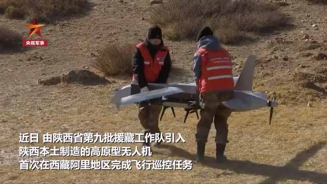
Day/night patrol support with visible and thermal observation, remote video and event documentation.
| Operating environment | High altitude, low temperature and high-wind conditions |
| Configuration direction | Fixed-wing UAV + dual-sensor gimbal |
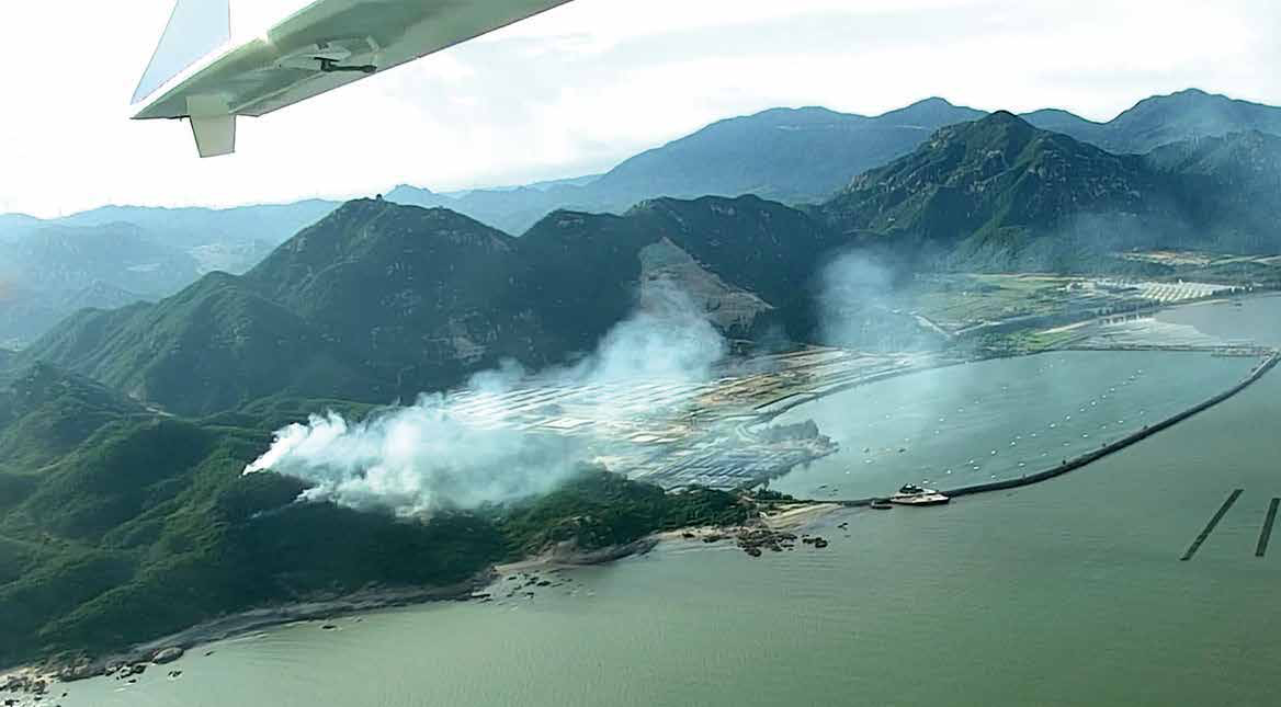
Supports pre-incident patrol, live scene assessment and post-incident thermal review.
| Configuration direction | Fixed-wing UAV + dual-sensor gimbal + mapping camera + loudspeaker |
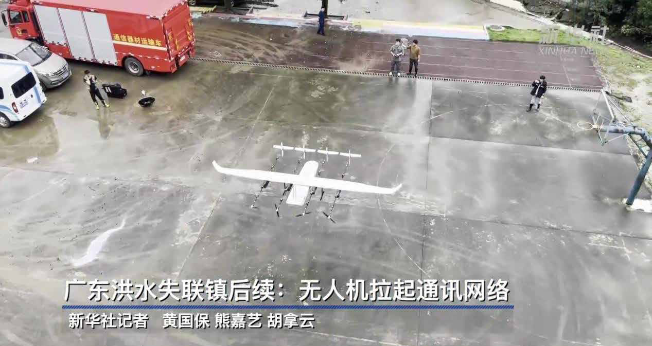
Airborne observation, emergency supply release and voice guidance can be combined for response missions.
| Configuration direction | Dual-sensor gimbal + drop box + loudspeaker |
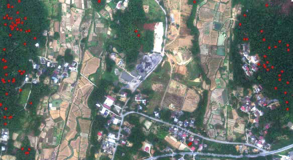
Workflow direction for orthographic, LiDAR and oblique data capture with automated routes and terrain following.
| Recorded indicator | 13 km² mapped in 2.5 h; 1:1000 model output |
| Configuration direction | Fixed-wing UAV + mapping or LiDAR payload |
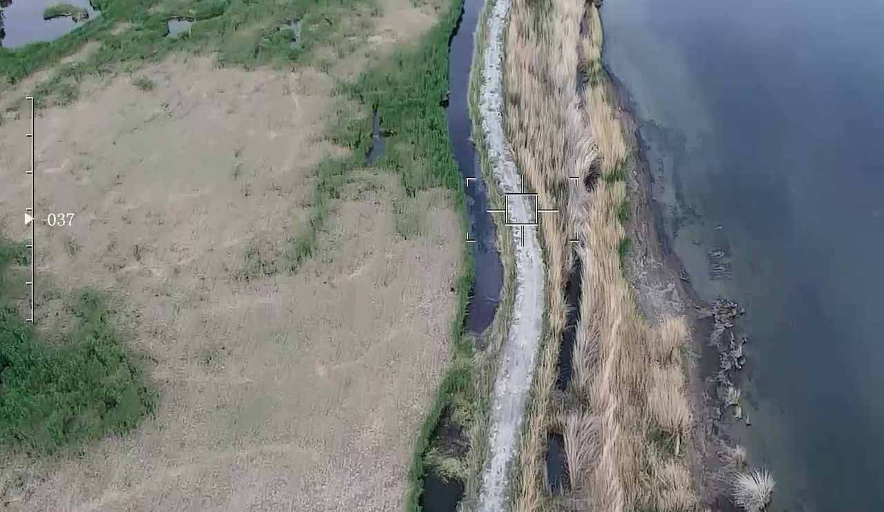
Supports wetland feature identification, surface-condition observation and remote patrol of water and resource areas.
| Configuration direction | Dual-sensor gimbal + multispectral camera |
Video, thermal observation and LiDAR workflows for pipeline and power-corridor condition review.
| Recorded indicator | 220 kV corridor scan; ground accuracy better than 3 cm |
| Configuration direction | Fixed-wing UAV + LiDAR or dual-sensor gimbal |
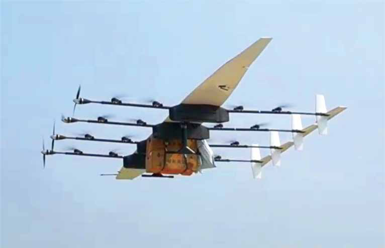
Point-to-point delivery direction for mountainous, island and disaster-access scenarios.
| Delivery indicator | Targeted release precision: under 1 m |
| Configuration direction | Cargo UAV / mission-specific delivery setup |