Visual intelligence
Navigation support beyond GNSS.
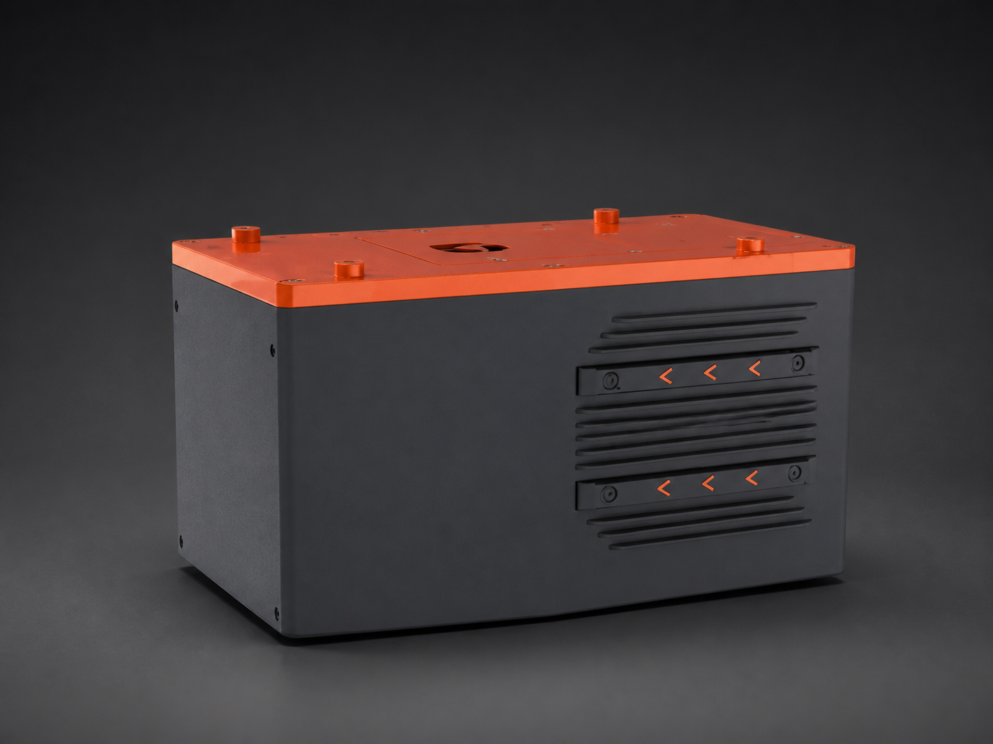
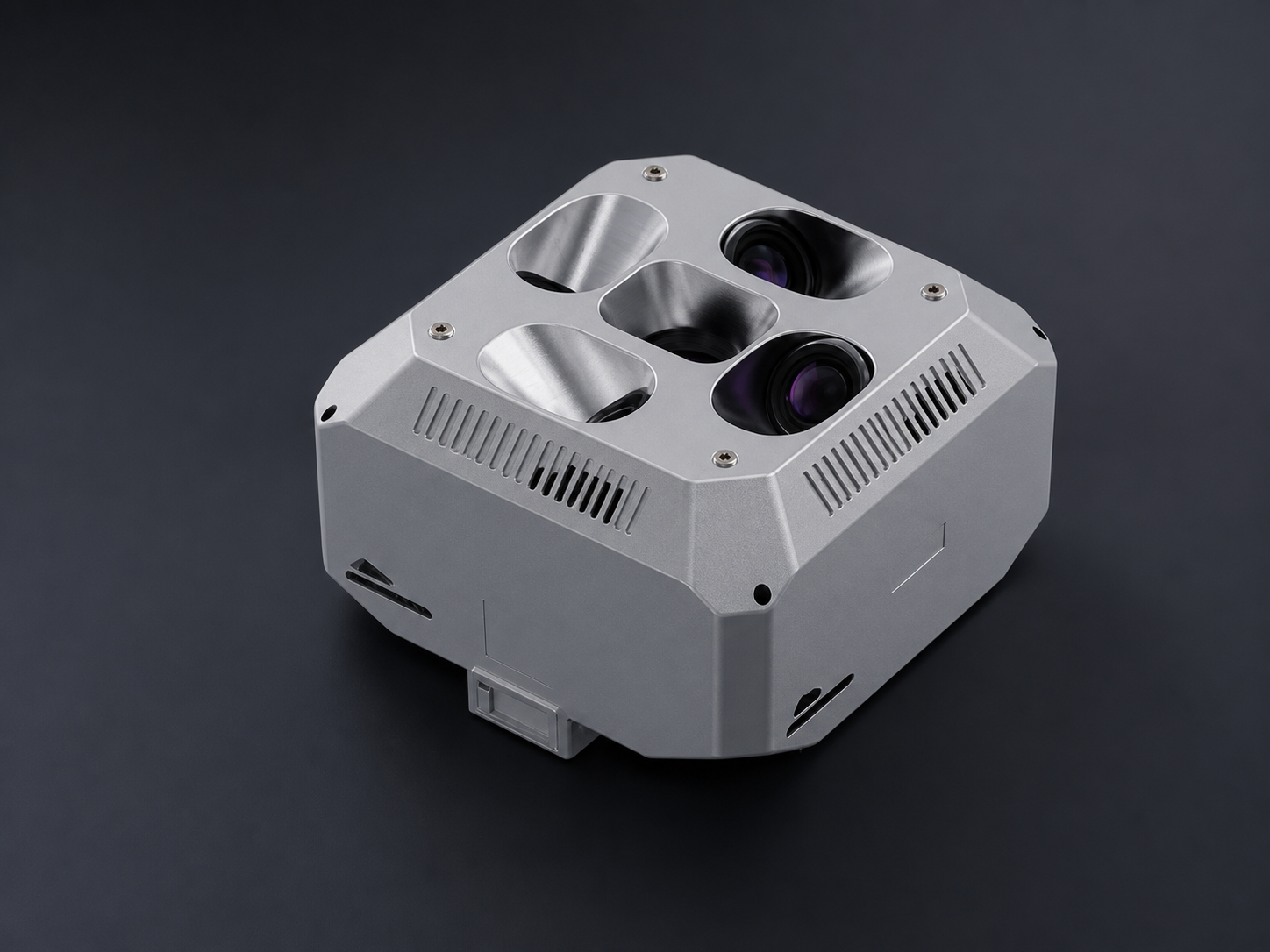
The system combines ground-scene cognition, aircraft positioning support, target recognition and geographic location information to help create an integrated operating-area picture. It is an optional system and configuration suitability is reviewed for each project.
GNSS-denied navigation supportSupports aircraft navigation and positioning continuity when satellite navigation is unavailable or affected.
Intelligent recognition & geolocationIdentifies targets in the operating area and associates them with geographic location information.
Holistic area awarenessCombines target and position information to support a broader operating-area view.
Project configuration reviewAircraft compatibility, installation and workflow are confirmed during solution design.